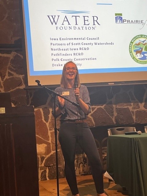
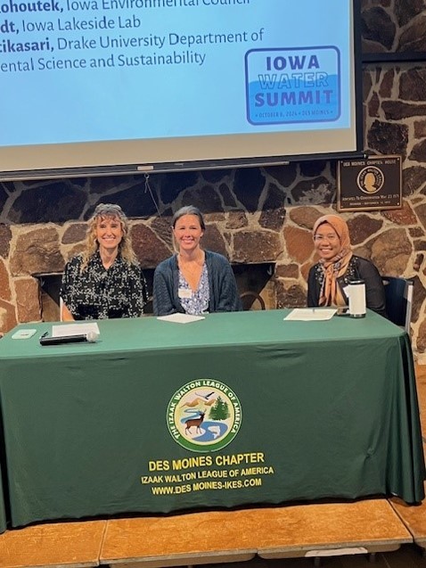
The Iowa Water Summit on October 8 brought together 65 people with an interest in water monitoring for a day of learning and networking. The event was one outcome of the grant from the Water Foundation that Prairie Rivers of Iowa was awarded last year and the regular meetings we’ve been having with seven partner organizations. The Des Moines Chapter of the Izaak Walton League made their facilities available and Heather Wilson (Midwest Save Our Streams Coordinator for the Ikes) did the lion’s share of the planning. Thanks to our presenters, to Bud Hartley for taking these photos, and everyone who helped make the event possible!
Planning events, dipping test strips, identifying and counting benthic macroinvertebrates, shocking fish, incubating bacterial plates, calibrating equipment, maintaining databases, analyzing data, communicating with the public… There’s a lot of work that goes into finding out what’s in our lakes, rivers, and streams! Between the Water Summit and my 8 years (!) working for Prairie Rivers of Iowa, I’m starting to assemble a picture of the organizations that do water monitoring and where to find the data they collect. Even so, this will not be a complete list! Feel free to add some more in the comments!
State and federal agencies
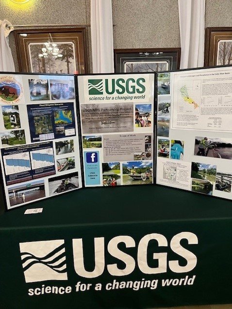
State and federal environmental agencies do a lot of water monitoring and have a lot of expertise, so if you’re looking for data, your first stop should be one of these databases.
- AQuIA houses water quality data collected by the Iowa Department of Natural Resources. I have been getting a lot of mileage out of the data in the Ambient Stream Monitoring Network, as I describe in the companion article to this one, “The Water is Deep.”
- BioNet houses fish and macroinvertebrate surveys collected by the Iowa Department of Natural Resources and the State Hygienic Lab. If you want to know which streams support stoneflies and whether biological diversity has declined in a certain creek, this is the place to find out.
- How’s My Waterway is a convenient way to access data submitted to the Environmental Protection Agency from both state and local partners. For example, IDNR uploads their data once a year, while Polk County Conservation uploads their data once a month. EPA’s old system was called STORET, but now it’s the Water Quality Portal for downloads and the Water Quality Exchange for uploads.
- The National Water Dashboard provides access to the US Geologic Survey’s network of stream gages, essential information if you live on a floodplain, if you’re planning a canoe trip, or if you need some context to make sense of your water quality data. The USGS also does quite a bit of water quality monitoring, in partnership with the EPA—the National Rivers and Streams Assessment is the best water quality study you’ve never heard of.
Volunteer programs
Iowa has too many waterways for the agencies to monitor on a regular basis, so if you want to know about water quality in your local creek, you may have to do it yourself. Fortunately, since the end of the IOWATER program, other organizations have stepped up to provide volunteers with equipment, training, and a place to store the data.
- The Clean Water Hub is a nationwide database for chemical and invertebrate data collected in the field by volunteers as part of the Izaak Walton League’s long-running Save Our Streams program. In addition to Izaak Walton League chapters, Story County Conservation, Iowa Citizens for Community Improvement, and Save Bloody Run are making use of the Hub. It even has old data collected as part of the IOWATER program!
- Polk County Conservation has a very impressive monitoring program, based on the IOWATER protocols, with data housed on the EPA’s Water Quality Portal. Staff, partners and public volunteers monitor 70 sites twice a month. Partners include Des Moines Water Works, the Cities of Altoona, Ankeny, Des Moines, and West Des Moines along with Des Moines Parks and Recreations and West Des Moines Parks and Recreation.
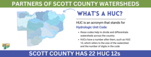
- Partners of Scott County Watersheds is one of several organizations with a watershed or regional focus that organize big volunteer monitoring events (snapshots) two or three times a year. They have created their own database and online dashboard to view the results.
- Trout Unlimited has been encouraging anglers in the driftless area to monitor water quality with a test strip and mobile app.
Watershed Projects and Agriculture
Prairie Rivers of Iowa originally got involved in water monitoring to educate the public about the Ioway Creek watershed and track conservation efforts in that watershed. Many watershed projects incorporate water monitoring for one or both of those reasons. A typical approach is to collect water samples once or twice a month during the growing season (plus some samples after heavy rains) and send them to a certified lab for analysis. In our case, that’s a lab operated by the City of Ames water and pollution control department, but others watershed projects have partnered with a university, with a university or commercial lab.
- Have you seen “Moved by Waters?” The documentary by Fourth Wall Films showcases the conservation, education, and citizen science work that Partners of Scott County Watersheds is doing in the Quad Cities and surrounding farmland. In addition to snapshot events they have a long history of research to try to track down sources of bacteria. Our grant helped them do one more round of microbial source tracking; Vice-Chair Steve Gustafson shared preliminary findings at the Water Summit but it wasn’t straightforward!
- The Iowa Soybean Association has supported nutrient sampling of streams and drainage tiles for some 19 watershed projects around the state. The Lower Skunk River WQI project is a good example of that—Pathfinders RC&D collects water samples that are sent to the Iowa Soybean Association for laboratory analysis. Several soil and water conservation districts and agribusiness groups are also partners in the project. Since the ISA collects many field edge samples that come with some privacy concerns, they don’t have a publicly accessible database. However…
- Agriculture’s Clean Water Alliance has worked with ISA to monitor nitrate in the Raccoon River, Boone River, and Beaver Creek watersheds. They post annual reports going back decades.
- Northeast Iowa RC&D has been coordinating water quality monitoring in the driftless area for 25 years, as described in this article. They have created a nice data dashboard for the Upper Iowa River watershed and the Upper Wapsipinicon River watershed.
Colleges and Universities
- The Iowa Water Quality Information System is an amazing map that shows you real-time data from a network of nitrate sensors operated by IIHR (Hydroscience and Engineering at the University of Iowa) and the USGS.
- Marty St. Clair (formerly of Coe College, now at University of Iowa) and his students have done sampling and laboratory analysis to support the Middle Cedar River, Indian Creek, Upper Iowa, Turkey River, Maquoketa River, and Upper Wapsipinicon River Watershed Management Authorities.
- Drake University’s environmental science department has done stream monitoring to support watershed projects and water recreation in Polk County. It’s often a challenge to maintain access to data that’s collected for student projects, but a solution is in the works.
- Iowa Lakeside Lab organizes bacteria testing and volunteer monitoring of algae conditions in Iowa’s Great Lakes.
- Iowa State University researchers have done a lot of the field scale and edge-of-field monitoring that established the effectiveness of conservation practices including riparian buffers, saturated buffers, bioreactors, and CREP wetlands. ISU is also responsible for tracking various progress indicators for the Iowa Nutrient Reduction Strategy, including compiling water quality data from IIHR, DNR, and USGS.
Closing Thoughts
Finally, there are organizations that don’t collect data themselves, but help make the other data more accessible to the public. The Iowa Environmental Council sends out a Weekly Water Watch newsletter to provide updates on beach monitoring by Iowa DNR, and they’ve been advocating for standardized, easily accessible, user-friendly data.
That’s an idea I support, and there are people working toward an “Internet of Water.” However, I am a bit skeptical when I hear people say “why don’t you use AI” or “you should really get all this data in one place.” Have you ever tried downloading data from the EPA’s Water Quality Portal that was sourced from more than one organization? I have, and I eventually got something useful out of it, but first I had to delete 20 unused columns and then I had to shorten the column names and then I had to clean up the non-numeric entries that one organization had put in a numeric field, and then I had to filter out the sites where monitoring too sporadic to be representative. Bigger, more flexible systems have their drawbacks.
I am more excited about building relationships and improving communication among the various people who care about water quality and who are involved in monitoring, so we can learn from each other and avoid duplication of effort. Hopefully, the Iowa Water Summit and this article are a step in that direction!
