Books for the byways
The theme for the Iowa Byways newsletter last month (be sure to sign up if you haven’t already) was “Books on the Byway.” I definitely did not have room to list all of the books that I found on the topic of The Lincoln Highway! I also realized that I don’t even have a complete “list” for either the Lincoln Highway Heritage Byway or the Iowa Valley Scenic Byway. We were also given the option to list where to buy books on the byways or where to enjoy reading books while on the byways. With approximately 43+ communities on the Lincoln Highway in Iowa, that would be a task for our tiny newsletter and even this tiny blog!
What I will do is tell you about some of the newer books that are on my reading list. I will give you the local bookstores that I found and let you find your own favorite café or park to read in!
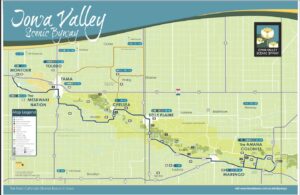
Check out our Lincoln Highway Activity Guide, our Lincoln Highway Recreation and Camping Guide, and our Iowa Valley Resources Map for ideas of places to enjoy a byway book.
The best recently published book about the Lincoln Highway is After Ike: On the Trail of the Century-Old Journey that Changed America. Author, Michael Owens provides a narrative for the First Transcontinental Convoy of 1919, as he crosses the same route in modern times (2022). Everyone should grab this book and read it before the documentary comes out in 2025. I have seen an early viewing of the documentary at the Lincoln Highway Association’s Annual Conference. The documentary does a wonderful job of portraying the historic highway and includes a favorite cast of characters from the Lincoln Highway Association.
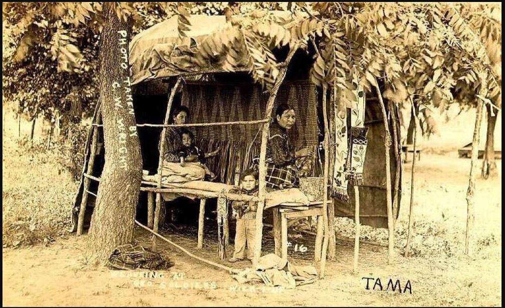
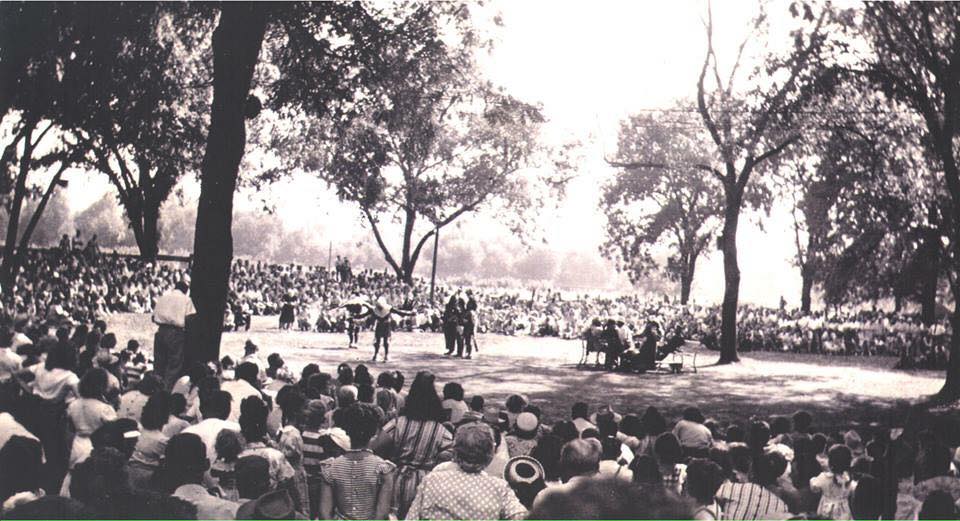
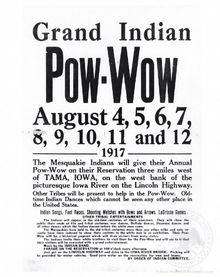
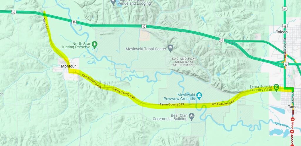
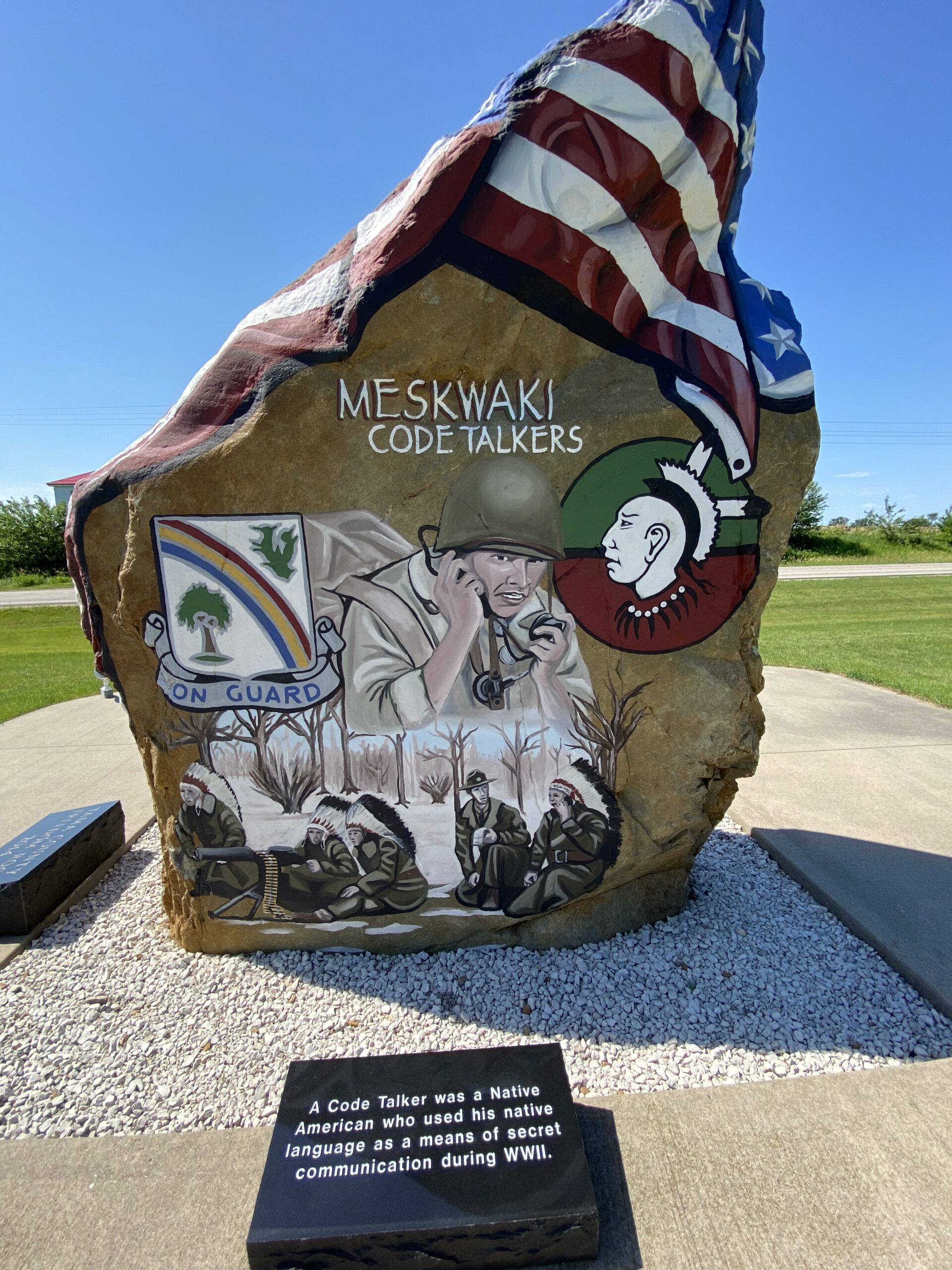
The book that I am most excited about reading is Eric Steven Zimmer’s Red Earth Nation: A History of the Meskwaki Settlement (2024). Located in Tama County, Iowa, the Sac & Fox Tribe of the Mississippi in Iowa, is known as the Meskwaki Nation, or the “People of the Red Earth.” The Meskwaki Nation purchased an 80-acre parcel of land along the Iowa River in 1857. That parcel has grown to more than 8,000 acres. Zimmer spent ten years writing this book to be certain that he got it right for the Meskwaki Nation. Through the Iowa Meskwaki Nation’s story, he explores the #Landback movement of Native nations.
Back Roads and Better Angels: A Journey into the Heart of American Democracy by Francis S. Barry (2024) focuses on a man and his wife who take the ultimate RV trip across America along the Lincoln Highway. Barry uses Abraham Lincoln and the Civil War as a guide to gain insight on Americans today amidst recent political divisions. I am hoping that this book is inspirational to a point that it can propel me through the 560 pages.
The newest book to be published about the Amana Colonies that I am looking forward to reading is The Worldly Game: The Story of Baseball in the Amana Colonies by Monys A Hagen, edited by Peter Hoehnle, published by Penfield Books (2024). When baseball was first introduced to the Colonies, the elders deemed the sport forbidden (verboten). With little else to do in their free time, the game quickly became the most popular sport of the seven Amana Colonies. Then the automobile was introduced to the colonies and the communities were suddenly introduced to the world. Baseball’s popularity dwindled.
The Iowa Baseball Museum of Norway located north of the Amana Colonies would be a great stop to get the full experience of this book.
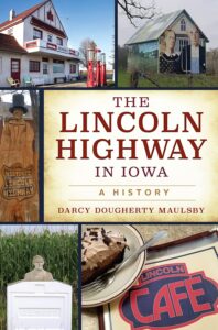
The Lincoln Highway in Iowa: A History is a recent book by Darcy Dougherty Maulsby (2023). I must admit that I have this book but that I haven’t read it all the way through yet. It has functioned more as a source book for me to find an interesting place or story. Which makes it a great glove compartment book for a trip on the byway.
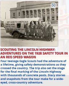
Brian Butko has written several books on the Lincoln Highway and kept an awesome Lincoln Highway blog from 2007-2022. I recently purchased his, The Lincoln Highway ~Photos Through Time (2013). The book I (and every byway traveler) is looking forward to most by Brian is, Scouting the Lincoln Highway: Adventures on the 1928 Safety Tour in an REO Speed Wagon. And honestly, I am full of anticipation for his first novel, The Quarry, described as “a haunted historical mystery.” Will a certain historic highway be mentioned?…
Speaking of fiction, there is one little book that has brought much attention to the Lincoln Highway. That is a not-so-little book by Amor Towles, The Lincoln Highway (2021). And… there is a movie in the works! Towles is an expert storyteller and although I haven’t read this one yet, I am a huge fan of his style. His story twists can change the view of what a story is really about. Talking about exposure, I just found out that the book has been printed in Spanish, Swedish, Italian, German, and Chinese.
Another fiction book that I found with a setting of the Lincoln Highway is, Niland Corner, by Paul Berge (2021). Berge is an aviation writer and this quick little story is sure to put a smile on your face as the story weaves around the Niland Corner.
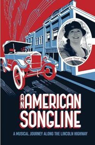
The last book I will talk about here is An American Songline: A Musical Journey Along the Lincoln Highway by Cecelia K Otto (2015). What a concept this book is based on! Cece traveled the Lincoln Highway (all of it) and gave concerts of vaudeville-era music in every state she passed through. The book follows her journey bringing music and history together. Oh yes, and there is a CD of the music you’ll need also!
Here are the locally owned book venues that I was able to find on the Lincoln Highway Heritage Byway . Send me the ones that I missed!
Dog-Eared Books in Ames
The Book Shoppe, Inc. in Boone
Swamp Fox Bookstore in uptown Marion
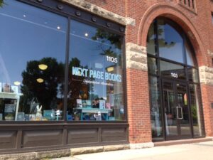
Next Page Books in Historic New Bohemia in Cedar Rapids
Along the Iowa Valley Scenic Byway I was able to find:
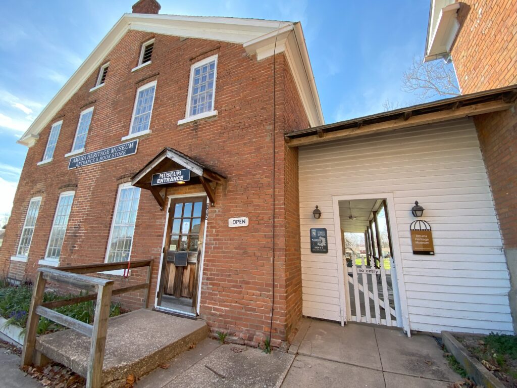
Amana Heritage Society Museum is the go-to place for books on the history of the Amanas.
Bumble Books in downtown Amana is taking on the environment by specializing in Print-On-Demand books by independent authors, they also sell new and used books.
Fireside Winery, just outside of Marengo, has a novel new Storyteller book club at the winery! They order their books from Dog-Eared Books in Ames!
Let me know what books you are reading for the byways.
Let me know where you get your books on the byways.
And let me know where your favorite place to read your byway book is.
A little piece of useless information about me:
Drake Hokanson’s 1988 book was a book I picked up back in 1989,
I didn’t know then what propelled me to do so….
See you on the byways!
Add to my book lists below!
Lincoln Highway Heritage Byway: This list includes Iowa specific books but does not include other state specific books that exist. Available at Lincoln Highway Trading Post: Buy here first to support the Lincoln Highway Association. If they do not have your book check your local bookstore as they can order and ship to you if the book is still in publication. Thrift sites may have a book that is out of publication.
Scouting the Lincoln Highway: Adventures on the 1928 Safety Tour in an REO Speed Wagon by Brian Butko, Not published yet
Red Earth Nation: A History of the Meskwaki Settlement by Eric Steven Zimmer, 2024, 358 pages
Back Roads and Better Angels: A Journey into the Heart of American Democracy by Francis S. Barry, 2024
Lincoln Highway: Discover America’s Forgotten Main Street by Publications International Ltd., 2023; 144 pages
The Lincoln Highway in Iowa: A History by Darcy Dougherty Maulsby, 2023; Iowa
After Ike: On the Trail of the Century-Old Journey that Changed America, Michael S. Owen, 2022; 224 pages; available at Trading Post
Greetings from the Lincoln Highway: A Road Trip Celebration of America’s First Coast-to-Coast Highway by Brian Butko (Centennial edition w/revised text and new images 2013, 2019) (3 total editions)
Ford Model T Coast to Coast: A Slow Drive across a Fast Country by Tom Cotter, 2018; 224 pages; available at Trading Post
An American Songline; The Book: A Musical Journey Along the Lincoln Highway by Cecelia Otto, 2015; 309 pages; available at Trading Post
Across the Continent by the Lincoln Highway by Effie Price Gladding, 2015; 120 pages
The Lincoln Highway: Photos Through Time, Brian Butko, 2013; 136 pages; available at Trading Post
Lincoln Highway Companion: A Guide to America’s First Coast-To-Coast Road, by Brian Butko, 2009; 193 pages
America’s First Highway by Greg Roza, 2009; ages 9-12; 32 pages
The Lincoln Highway: Coast to Coast from Times Square to the Golden Gate by Michael Wallis and Michael S. Williamson, 2007; 304 pages
Lincoln Highway: The Road My Father Traveled by D. Lowell Nissley, 2006; 212 pages
American Road: The Story of an Epic Transcontinental Journey at the Dawn of the Motor Age by Pete Davies, 2002; 274 pages
All the Way to Lincoln Way: A Coast to Coast Bicycle Odyssey by Bill Roe, 2000; 192 pages
The Pacesetter: The Untold Story of Carl G. Fisher by Jerry M. Fisher, 1998; 440 pages
Link Across America: A Story of the Historic Lincoln Highway by Mary Elizabeth Anderson and Randall F Ray, 1997; ages 7-13; 52 pages; available at Trading Post
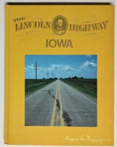
The Lincoln Highway: Iowa by Gregory M. Franzwa, 1995; 187 pages Iowa
The Lincoln Highway: Main Street Across America by Drake Hokanson, 1988; 256 pages
The Lincoln Highway: The Story of a Crusade That Made Transportation History by Lincoln Highway Association, reprint of 1935 edition (reprints: 1995, 2018, 2022); 396-204 pages
The Complete Official Road Guide of the Lincoln Highway, reprint of 1924 edition (5th Edition); 566 pages; available at Trading Post
The Complete Official Road Guide of the Lincoln Highway, reprint of 1916 edition (2nd Edition)- print on demand with a leather cover through Walmart
The Complete Official Road Guide of the Lincoln Highway, reprint of 1915 edition (1st edition of 5 editions); 160 pages
Pan-Pacific International Exposition Miniature View Book by Robert E. Reid, 1915; 66 pages; available at Trading Post
Hints to Transcontinental Tourists Traveling on the Lincoln Highway by FH Trego, reprint of 1914 edition; 12 pages; available at Trading Post
Lincoln Highway: Route Road Conditions and Directions by FH Trego, reprint of 1913 edition; 32 pages; available at Trading Post
Fiction: The Lincoln Highway by Amor Towles, 2021
Fiction: Niland Corner by Paul Berge, 2021 Iowa
Iowa Valley Scenic Byway:
Red Earth Nation: A History of the Meskwaki Settlement by Eric Steven Zimmer, 2024
The Worldly Game: The Story of Baseball in the Amana Colonies by Monys A. Hagen, published by Penfield Books, 2024.
A Change and A Parting: My Story of Amana by Barbara Selzer Yambura and Eunice W. Bodine, 2022; 264 pages
A Century of Amana Life: Echoes of Elise by Jeremy H. Berger, 2020; 297 pages
Amana Colonies, Iowa, Images of America, 1932-1945 by Peter Hoehnle, 2016; 130 pages
The Inspirationists, 1714-1932 by Peter Hoehnle, 2015; 374 pages
The Amanas Yesterday by Joan Liffring-Zug Bourret, John Zug, 2013, 48 pages
German Recipes Old World Specialties and Photography from the Amana Colonies by Sue Roemig Goree and Joanne Asala, 2013; 128 pages
The Amana People: The History of a Religious Community by Peter Hoehnle, 2003; 96 pages
Village Voices, Stories from the Amana Colonies by Various Authors published by Free River Press, 1996
Ghost of the Amana Colonies by Lori Erickson, 1988; 172 pages
Amana Colonies by Joan Liffring-Zug Bourret and John Zug, 1985 (2nd Edition)
Amana Today: A History of the Amana Colonies from 1932 to the Present by Lawrence L. Rettig, 1975; 249 pages
Historical Fiction by Melanie Dobson: Legacy of Love Series books 6 & 7: The Society, 2020; 320 pages and The Stranger, 2020; 299 pages
Historical Fiction by Judith McCoy Miller Home to Amana Series and Daughters of Amana Series, 2010-2014


